ALOS Kyoto & Carbon Initiative Phase 3.
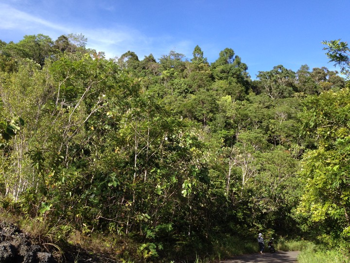
 Alcoy, Cebu, Philippines, 2012 © Don De Alban
CLIMATE-RELEVANT MODERNISATION OF THE NATIONAL FOREST POLICY AND PILOTING REDD+ MEASURES IN THE PHILIPPINES (2011–2014).
Climate-relevant Modernisation of the National Forest Policy and Piloting REDD+ Measures in the Philippines.
The ALOS K&C Philippines team is composed of representatives from Fauna & Flora International, Deutsche Gesellschaft für Internationale Zusammenarbeit GmbH, and the Department of Geodetic Engineering of the University of the Philippines. Other collaborators include staff of the National Mapping and Resource Information Authority and the Forest Management Bureau of the Department of Environment and Natural Resources. Under the ALOS K&C Initiative Phase 3, the Philippines project aimed to achieve the following:
- Establishing baseline forest carbon stocks;
- Piloting of forest carbon methods using ALOS/PALSAR data to monitor land cover changes; and
- Determining deforestation rates using ALOS/PALSAR data.
The Philippines ALOS K&C Project intended to support the REDD+ readiness initiatives in three sub-national demonstration sites, including: (1) Southern Leyte province; (2) Victoria-Anepahan mountain range, province of Palawan; and (3) Gen Nakar municipality, province of Quezon.
Acknowledgements. The ALOS K&C Philippines team thank the following organisations for their support in the implementation of the project:
Palawan: Non-Timber Forest Products – Task Force; Environmental Legal Assistance Centre;, Institute for the Development of Educational and Ecological Alternatives; Nagkakaisang mga Tribu ng Palawan; Local Government of Quezon, Palawan; European Union; and International Union for the Conservation of Nature - Ecosystem Alliance.
Southern Leyte: German Federal Ministry for the Environment, Nature Conservation, Building, and Nuclear Safety; Protected Areas and Wildlife Bureau - Department of Environment and Natural Resources; United Nations Development Programme - Global Environment Facility; Food and Agriculture Organisation of the United Nations; UN-REDD Philippines Programme; Foundation for the Philippine Environment; and United States Agency for International Development.
Cebu: Protected Areas and Wildlife Bureau - Department of Environment and Natural Resources; and United Nations Development Programme - Global Environment Facility.
Upper Marikina Watershed: Applied Geodesy and Space Technology Research Laboratory, Department of Geodetic Engineering, University of the Philippines; and Engineering Research and Development Technology - Department of Science and Technology.
Gen Nakar, Quezon: Team Energy Foundation; and European Union.
Note: Research study in Gen Nakar, Quezon REDD+ demonstration site was not completed since relevant permits (i.e., Certificate of Precondition) required for the conduct of the field data collection on forest carbon stock and biodiversity assessments were not secured.